Arquivo digital de mapas de orientação de Jens Kastensson
|
Log in
Todos utilizadores
|
Língua:
Português
Česky
Dansk
Deutsch
Eesti
English
Español
Français
Italiano
Magyar
Norsk
Polski
Português
Русский
Svenska
Türkçe
Український
|
DOMA 3.0.10
Mostrar mapa geral
Esconder mapa geral
|
KML
|
Voltar
<< Window + corridor (27-08-2011)
|
Family sprint training part 1 (30-08-2011) >>
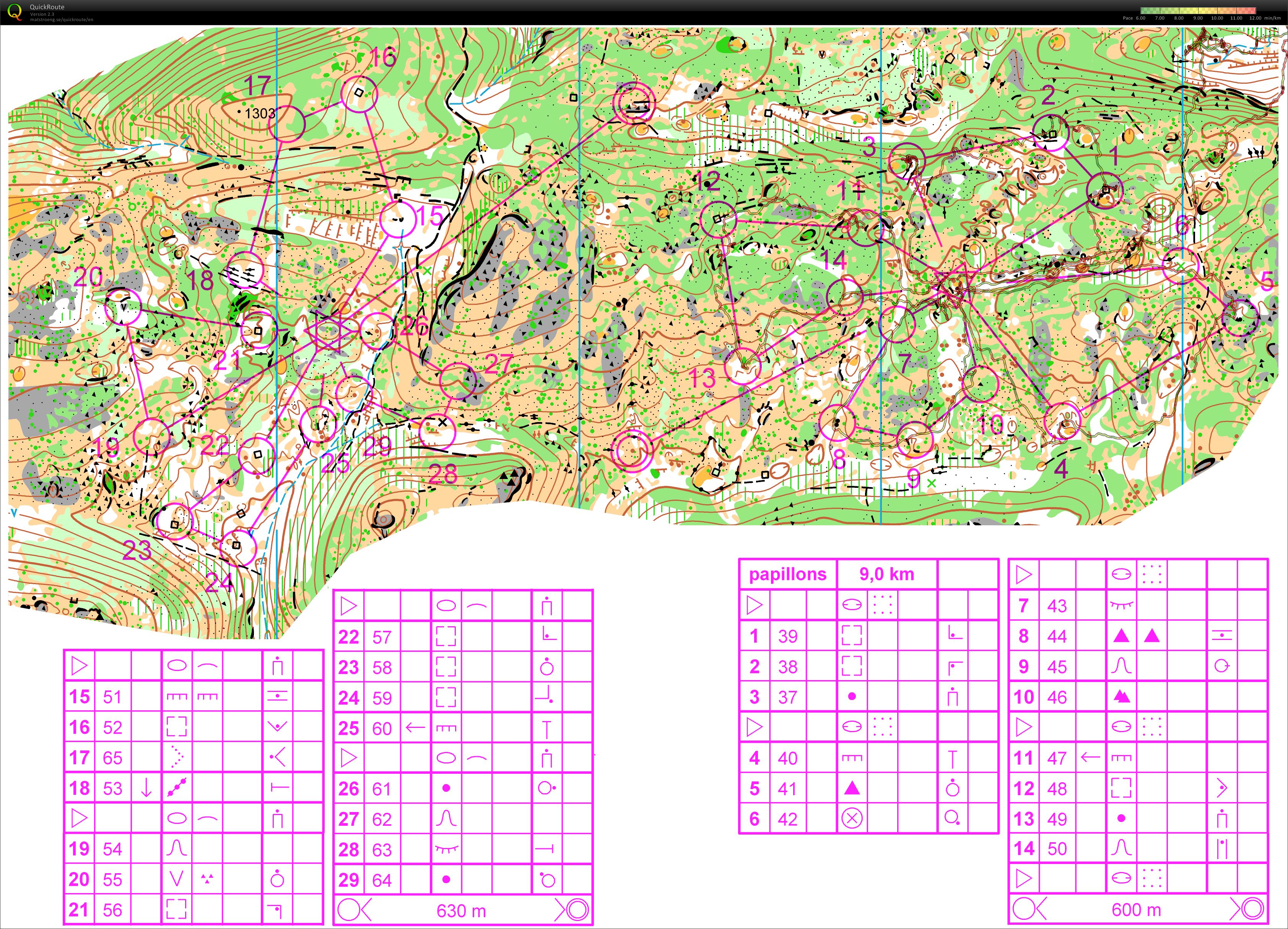
Butterfly + Downhill-O (28-08-2011)
Categoria:
Training
Mapa/Área:
Gréolière
Organisação:
Tam
País:
FR
Distância:
9.94 km
Tempo:
134:31
Distance: 8,69 km
Elevation Gain: 247 m
(The Downhill-O part is not on this map)
Mostrar comentários
Esconder comentários
(
0
)
Criar novo comentário
Nome:
Email:
Guardar
 Português
 Česky
Česky Dansk
Dansk Deutsch
 Eesti
Eesti English
 Español
 Français
 Italiano
 Magyar
 Norsk
Norsk Polski
 Русский
 Svenska
 Türkçe
 Український